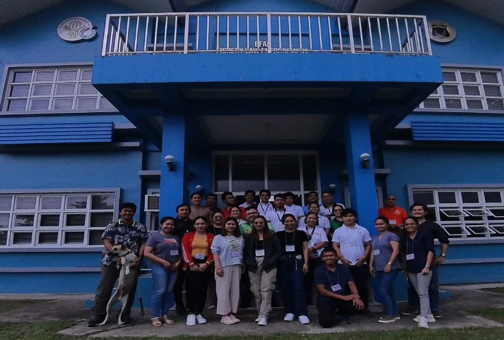
Personnel from the Fisheries Resources Management Division (FRMD), National Brackishwater Fisheries Technology Center of the Bureau of Fisheries and Aquatic Resources (BFAR), alongside representatives from the Pagbilao, Quezon local government Disaster Risk and Management Office, recently completed their Basic Geographic Information System (GIS) training with the NAMRIA Geomatics Training Center. A group of 25 mostly female personnel was trained as part of NAMRIA's commitment to its Gender and Development (GAD) Program. The training took place at the BFAR-Fishery Law Enforcement Training School in Pagbilao, Quezon Province on 02-06 October 2023. A Memorandum of Agreement was signed by NAMRIA Administrator Usec. Peter N. Tiangco, PhD and BFAR Director Atty. Demosthenes R. Escoto.
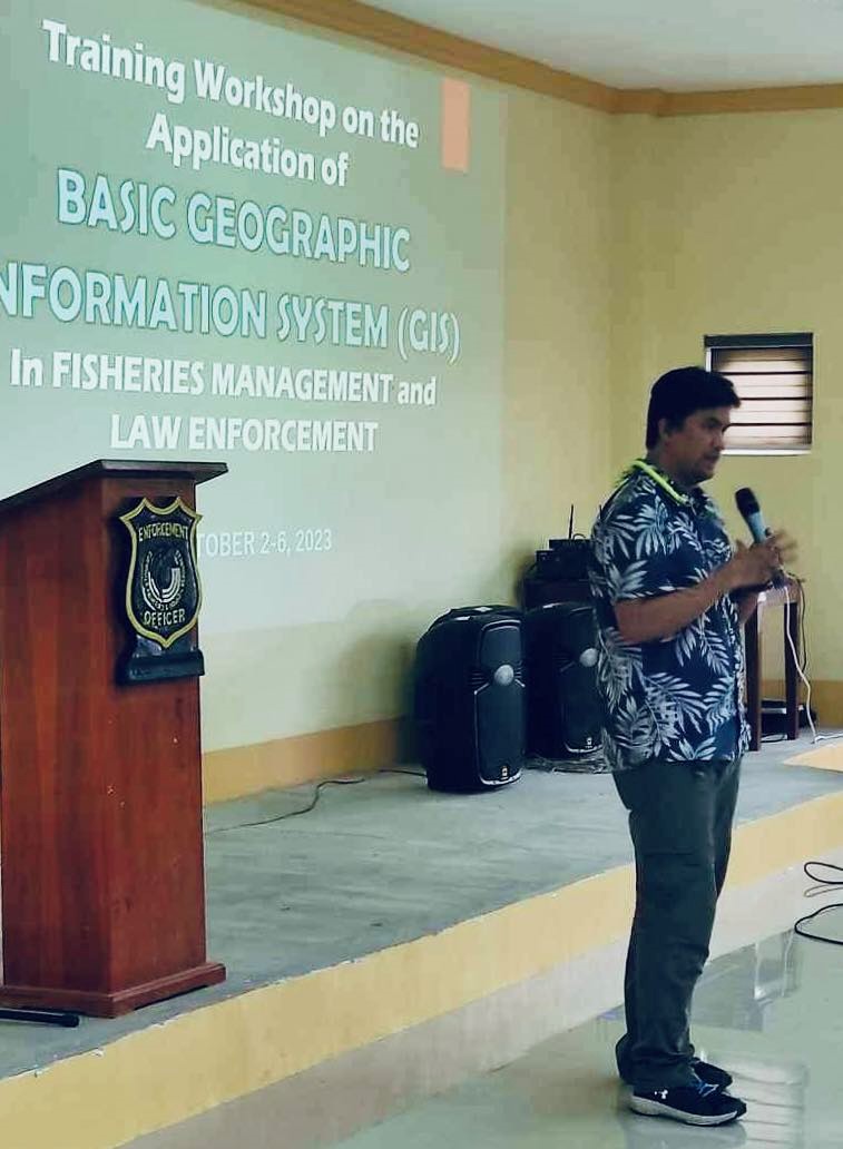
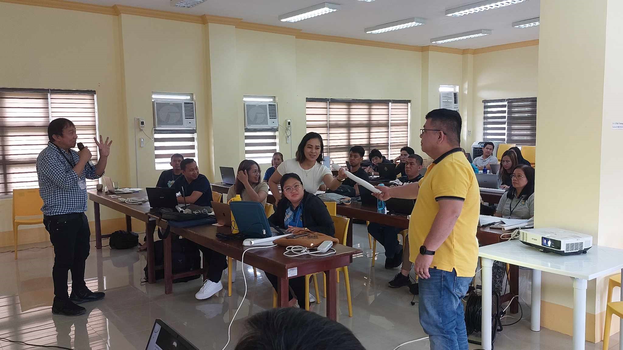
During the opening remarks, Mr. Roy C. Ortega, M.Sc., who is Officer in Charge (OIC) of FRMD discussed BFAR's future plans and programs. He encouraged the participants to seize the opportunity for additional learning and skill enhancement in utilizing GIS technology.
Participants from BFAR of the Basic GIS training
The primary objective of the five-day training was to empower technical staff with GIS skills to build, manage, evaluate, and analyze spatial data that will support their decision-making process and law-enforcement activities. The training encompassed a range of topics which included map appreciation, GIS fundamentals, essential map concepts, the practical application of GIS functions, data management, geo-referencing, tracing, geo-processing tools, and hazard spatial overlay and analysis. As part of the training's requirements, participants were tasked with creating sample maps and other data layers that would support BFAR's projects and service delivery.
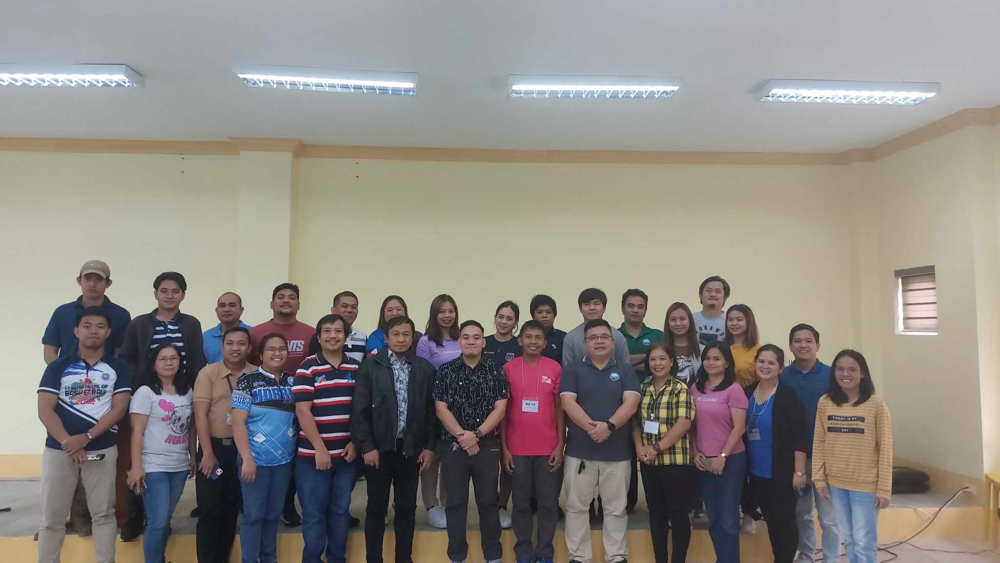
The NAMRIA training team was composed of Mr. Aljerico A. Alcala, Mr. Jeff N. Hunt, Mr. Marco Arkiel C. Ilagan, and Mr. Manuel Lorenzana as lecturers and facilitators. The team worked with OIC-FRMD Ortega and his technical staff, Mr. John Eric P. Borbe and Ms. Angelyn D. Gaspar in organizing and conducting the training.
Opening remarks from OIC-FRMD Ortega
BFAR participants with NAMRIA training lecturers and facilitators
Mr. Alcala describes the token NAMRIA centennial map being given by the author to one of the participants.
Readers can email
newscoop@namria.gov.ph or fax letters to +63-2 8884-2855 for their comments and suggestions.
 SHOP
SHOP


 LOCATE
 DOWNLOAD
 LEARN
LEARN