The NAMRIA Hydrography Branch (HB) field survey team headed by Lt. Kerwin C. Ferrer conducted hydrographic survey of the waters around Boracay Island from 18 September to 18 October 2018. The survey aimed to update the nautical charts and other maritime publications covering the island and Caticlan port. The data acquired in the fieldwork can be valuable inputs for the conservation efforts of the Philippine Government for the island.
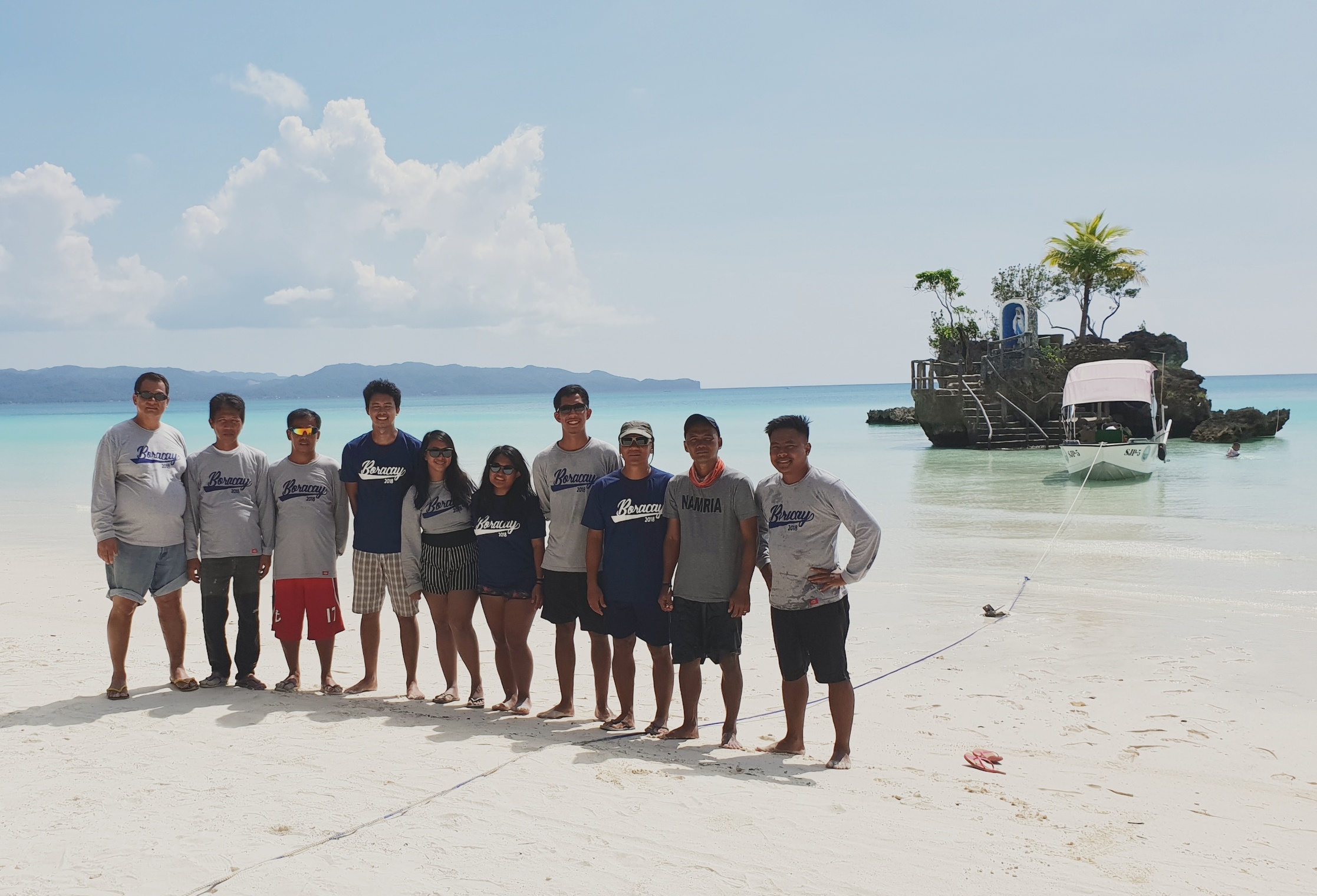
The NAMRIA HB field survey team in Boracay Island (from left to right): Renato E. Eguia,
SN2 Emilio D. Tubig, SN2 Heintjie T. Balido, Lieutenant Ferrer, the author, P/Ens Mary Genevieve C. Borbon,
Ens. Renz B. Vasquez, PO3 Raymundo P. Barrozo, SN3 Marcelo F. Jubilado, and SN3 Lyndon D. Genteroy
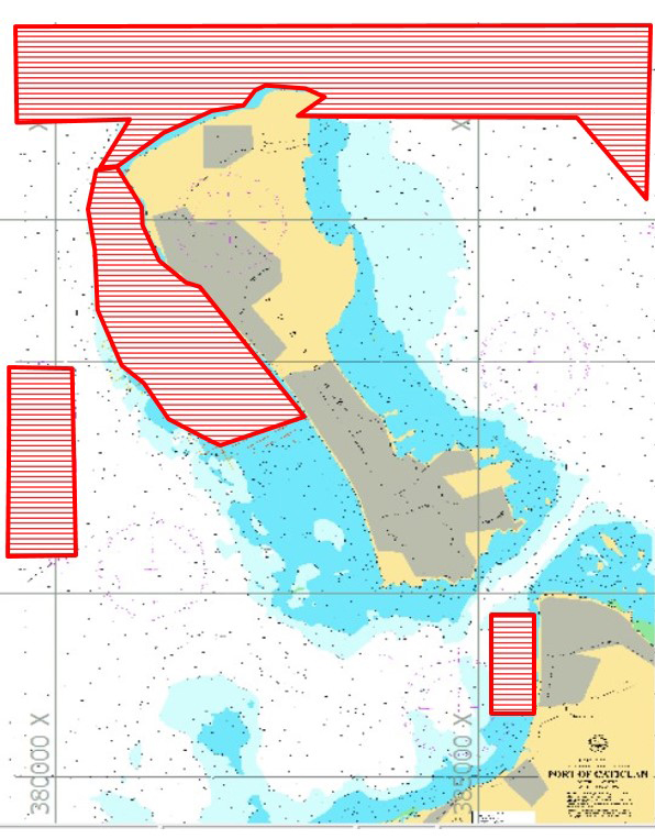
The team was able to measure the depth of water surrounding the island and vicinity by means of single-beam echosounder. A topographic survey of the beaches around the island and the newly developed port in Caticlan was conducted using global navigation satellite system (GNSS) technology. Levelling survey was done to verify the elevation of the benchmarks tied to the tide staff of Caticlan Primary Tide Station.
Hydrographic survey coverage areas in red
The hydrographic survey concluded just before the reopening of Boracay Island on 26 October 2018. The expected publication of the updated nautical chart of the area will help boost cruise tourism and make a significant contribution to the local economy.
Readers can email
newscoop@namria.gov.ph or fax letters to +63-2 8884-2855 for their comments and suggestions.

